Let’s go step by step through how indoor navigation works
It is a little more complicated than standard maps, because we cannot use the GPS position. But there are a few ways to solve it, and we show them below.
First, the foundations
Without GPS data we can only try to imitate Google Maps. There are two ways to do it.


A map built on QR codes
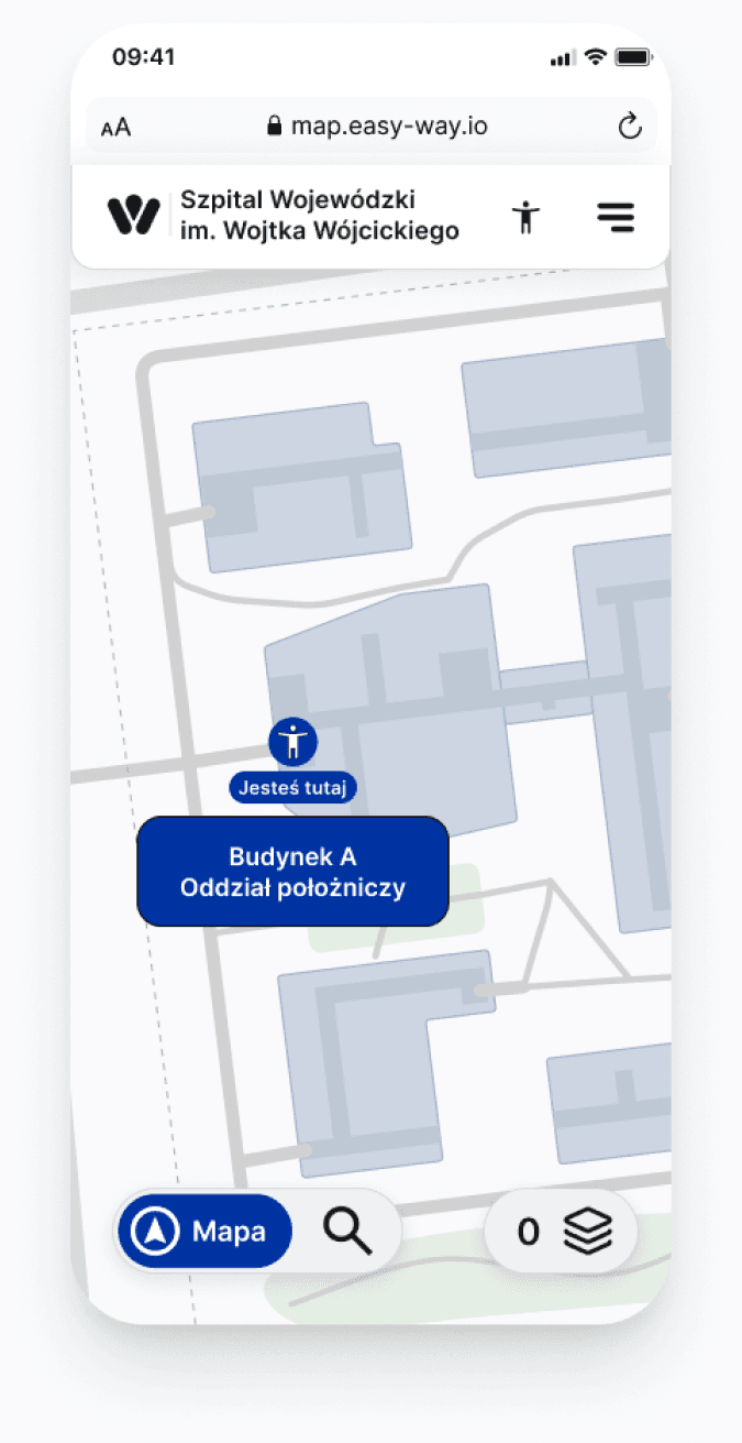
Each QR code is assigned to a specific location on the map, so after scanning it the user sees where they are.
How does it work?
- The user scans the QR code and sees the map straight away.
- They can plot the route to their destination.
- Low implementation cost, because you only need to place the QR codes.
What sets this option apart?
- Quick implementation, with no devices installed in the building.
- Works without additional positioning devices.
- Low implementation cost, because you only need to print signs or other markers with QR codes.

A mobile app with real-time location
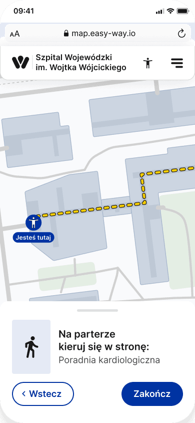
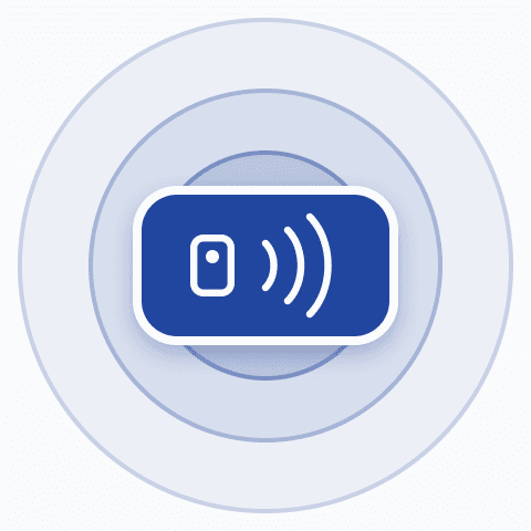
It works much like navigation in Google Maps. Thanks to BLE beacons you see the little person moving on the map.
How does it work?
- The user installs the app from Google Play or the App Store. Without an account in those services, they have to create one.
- Once started, the app connects to the positioning devices over Bluetooth.
- The user plots the route and sees their position on the map.
What sets this option apart?
- Longer implementation, as the BLE devices need to be configured.
- Continuously updated position on the map and better guidance.
- Higher implementation cost.
Whatever technology you choose, we start with what matters most
Let’s talk about the map. It is the first step: we need to look at it closely and put the materials in order.
We collect the basic building and corridor plans
We check the map on site and add the details
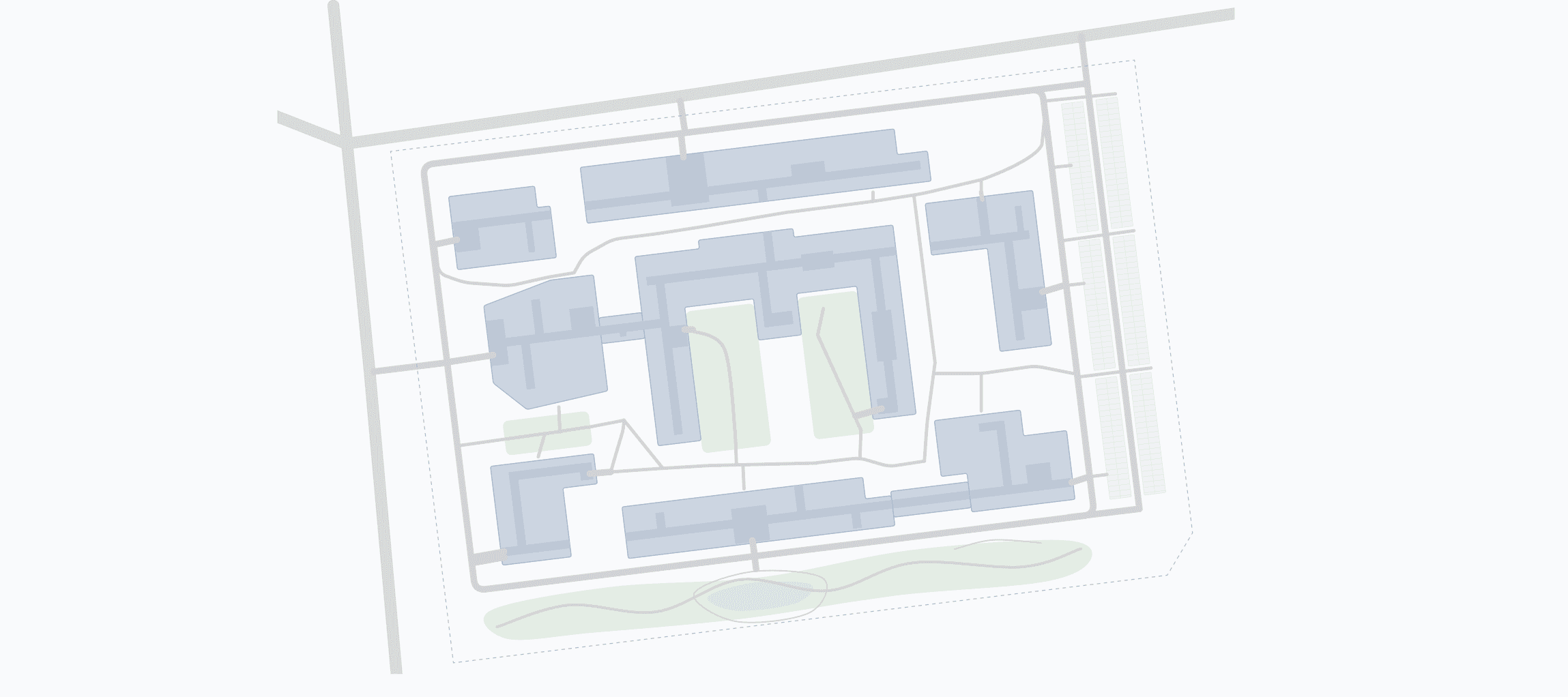
Building map
The final version is a simplified diagram of corridors and buildings. You can use it in many places beyond the app, for example in promotional materials.
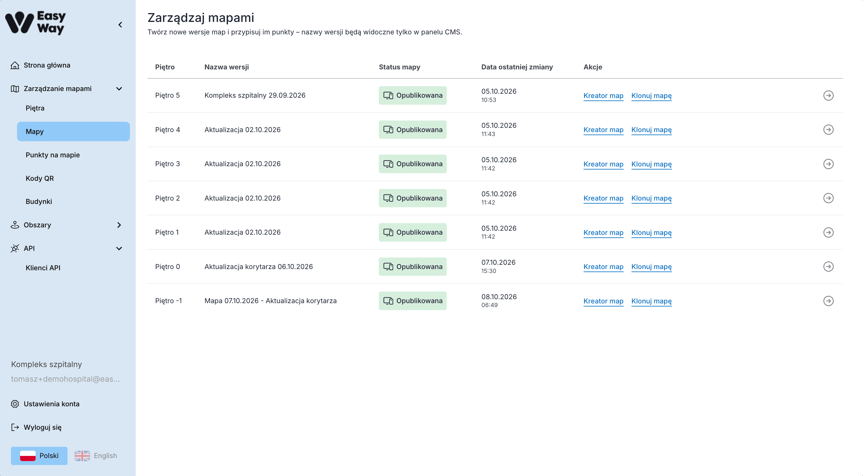
Then we move the map into the CMS panel and add the key information
You use a dedicated map editor. Adding information is very simple, so anyone in the office can do it.
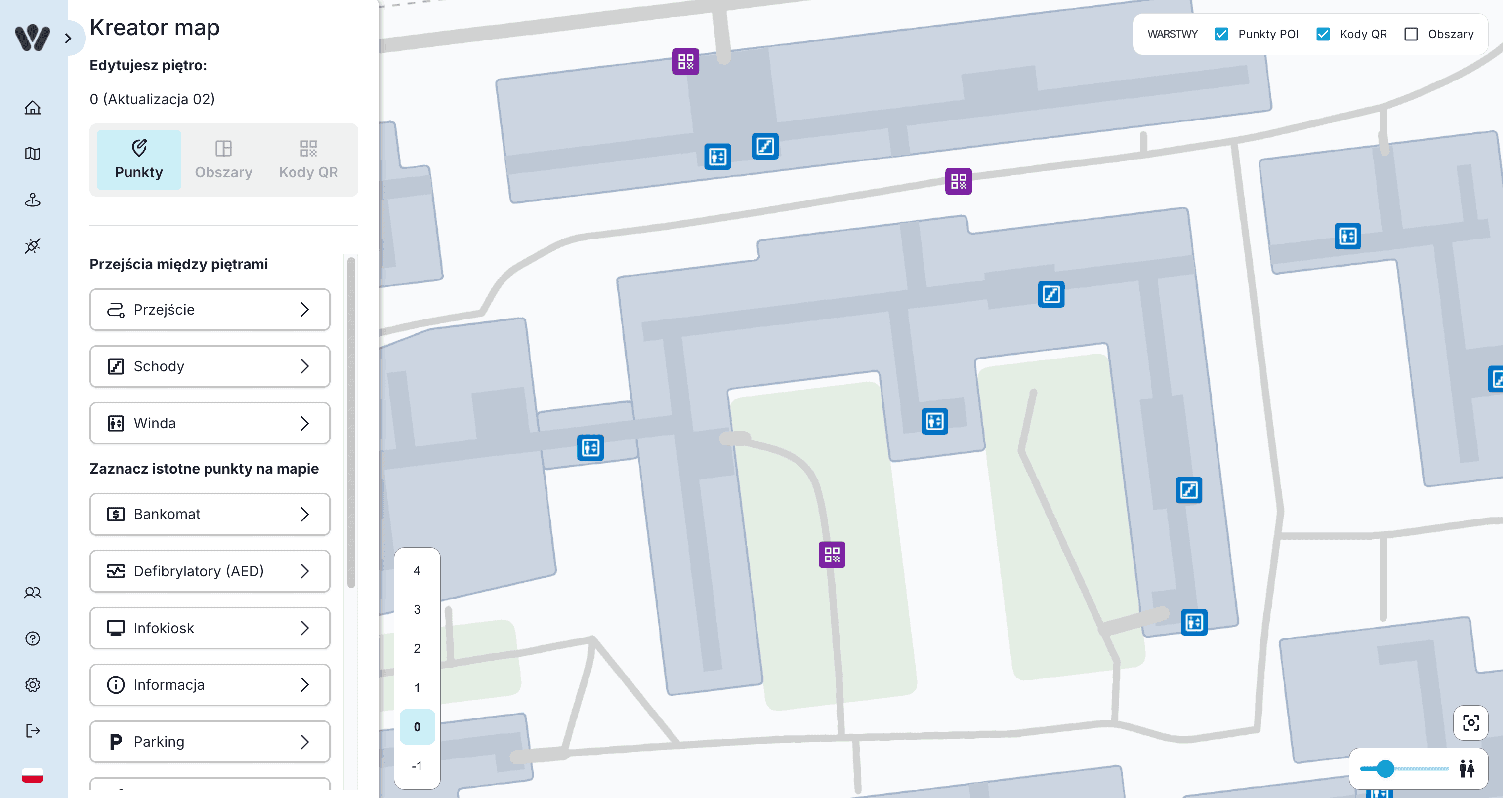


Connections between floors
At this stage it is important to put up-to-date information on the map. Start with connections between floors and obstacles in corridors.
- Clinics
- Rooms
- Shops
- Stands
Key areas
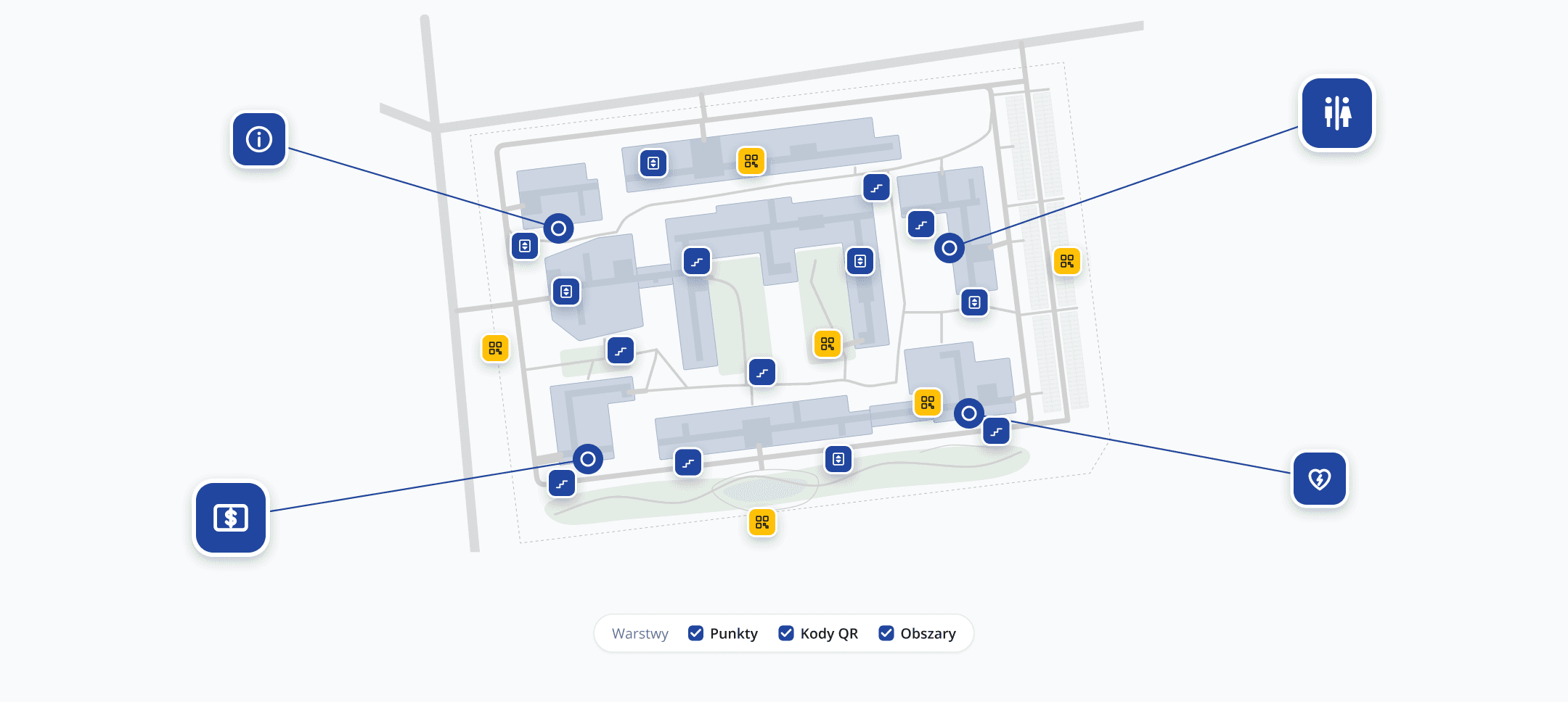
Then add all key areas: clinics, rooms, shops or stands. Any place you want to guide visitors to.
We arrange the information on the map
Once the information is well prepared, the algorithm guides everyone to their destination correctly.
When the map is ready, you can publish your app!
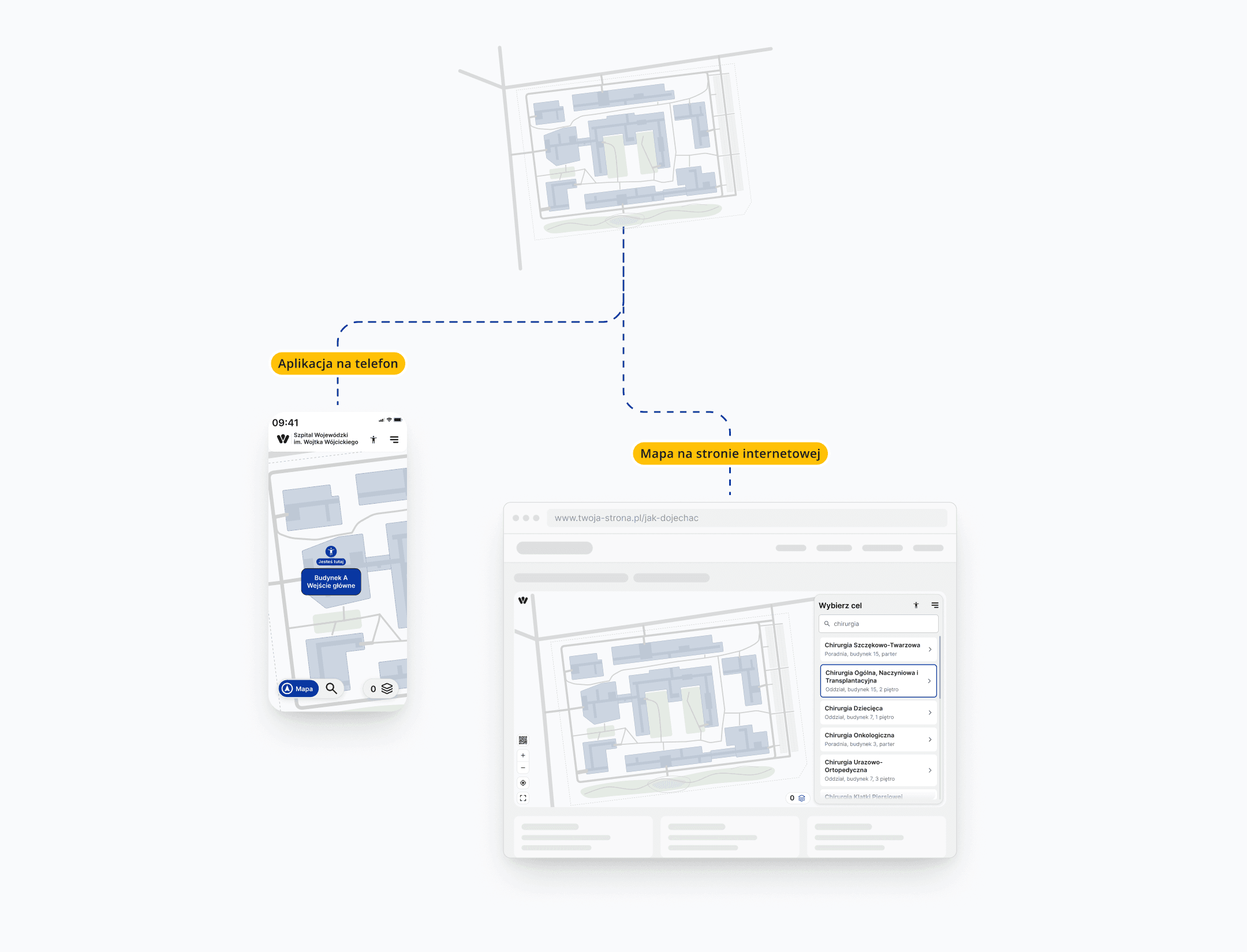
Every update in the management panel is visible on all devices within a few minutes. You have full control over what visitors see.
Map on the phone
Whether visitors scan a new QR code or refresh the page, they see the changes.
Map on the website
The widget you publish on your website also updates to the latest version.
Maps in a dedicated mobile app
When started, the app downloads the latest version of the map.
One map on every device
Your visitors get to know the map and how to use it at home. When they arrive, nothing surprises them, because they use a tool they already know.
Let’s talk about how the app works in a real building
25 minutes is enough for us to agree on the key goals and then estimate the cost of implementation.
Common questions about Easy-Way
Another question? Write to usDoes the IT department have to be involved in the rollout?
No. Easy-Way runs independently of your organisation's infrastructure. Only when you publish the map on your website do you need someone to paste a ready-made code snippet into it.
How long does it take to prepare the map?
It depends on the size of the building and the number of floors, and with a full implementation also on the on-site study. That is why we agree the timing in a call, once we know your building.
What happens when a clinic moves?
You move it on the map in the management panel. Every change is visible after a few minutes on all devices: on your website and in the map visitors open with a code in the building.
Make wayfinding work in your building
Pick a time for a call and let’s talk about how to help your visitors reach their destination.